Early on 17 January, a sunspot rounded the southeast limb and was numbered by NOAA/SWPC as NOAA 2797. This is the same group as the big sunspot region that appeared late November (then numbered NOAA 2786), and that was responsible for a sequel late December when it was known as NOAA 2794. Calculation of its heliographic position revealed that the sunspot remained at a solar latitude of about -16 to -17 degrees, while its solar longitude gradually decreased from about 347 degrees in November over 345 degrees during its December transit to its current 340 degrees. This is due to the effects of differential rotation, i.e. the Sun rotates slightly slower around its axis with increasing solar latitude. At 17 degrees, this difference is not much but it becomes more clear after subsequent solar rotations.
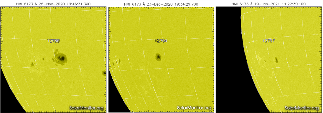
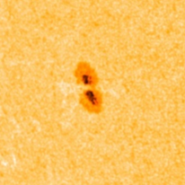
The images also reveal that the sunspot continues its decline. In November, the sunspot area of the group was about 6 times the surface are of the Earth, but now, the Earth's surface area is about double that of NOAA 2797. In November it produced 15 C-class flares, and had a quite complex appearance. In December, it did not produce any C-class flare and was just a simple symmetric sunspot. The first images of its current transit indicate that this main spot is further falling apart, as it is cut in two by a photospheric lightbridge. Such features usually herald the decaying phase of the spot, so chances are that the sunspot will vanish within the next few weeks.